Three Days and Two Nights in the Coquihalla Backcountry
Route: Tulameen FSR to Illal Meadows along Illal Creek
Distance: ~30kms / Elevation Gain: 1400m
Preparation:
After over a year of newborn friendly adventures with Aspen I was itching for a longer backpacking trip. After Matt agreed to sit this one out and stay home with Aspen, I immediately began packing my bags before he could change his mind.
In the midst of what seemed like a never-ending spring here in BC, options were limited for alpine adventures. A good friend and I had talked about doing the Howe Sound Crest Trail, unfortunately, much of the trail was still buried in snow and there had been multiple SAR events in the week leading up to our trip. We decided to pivot and look towards the Coquihalla Summit Recreation Area. I had seen a positive trip report (read: mostly snow free) from the week previous to Illal Meadows so I decided to look into the area. From what I could see Illal Meadows looked like the perfect base camp to check off a couple of peaks in the area including Illal, Jim Kelly and Coquihalla Mountain.
Once we had a destination confirmed we started looking for a group to head up there for the weekend. There were a few of us in my Ray's original HSCT group, and I had some tentative hiking plans with a new friend from Instagram who happened to be interested in the trip. We had a game plan!
Day 1:
We got up that morning and headed up the Coquihalla (Highway) meeting our group at Britton Creek Rest Area, from there you approach Tulameen FSR and follow it south-east for just over 19kms to just after the bridge. Up until this point the road is in excellent condition, drivable by most 2WD vehicles, with only one small cross-ditch at the start of the road. Most people choose to park here and there is parking for about 15 vehicles. The official trail head is 3 kms from here; however, in the storms last fall the spur road washed out approximately 700 m from the main FSR. If you have a high clearance vehicle with 4WD you can push the additional 700 m however, be prepared for a number of cross-ditches, heavy alders and very limited parking prior to the washout. Coming up on a Thursday afternoon we decided to give the spur road a go, Ray made it up to the washout in his jeep and shuttled the group from the FSR to this point. When we parked that afternoon we were the only car on the spur.
From there we grabbed our gear and headed for the trail, trying to make a quick getaway as the mosquitoes were quite bad. In the 2.3 kms between the washout and the old trailhead you continue to follow the spur. There are a couple of additional washouts and creek crossings along the way, but nothing major. Once we got to the trailhead, the trail was well defined with the occasional marker along the way. At approximately 3.7 kms (from the FSR) you will come to a larger creek, part of our group decided to take off their boots to cross while others crossed on a wet narrow log, both options worked fine. Once the water level drops in late summer this should be an easy crossing. From here you follow the trail up through the forest and into the alpine, the trail was a little bit hard to follow once in the alpine as there were still patches of snow on some aspects but it was easy enough if you knew the general direction to head. We encountered all types of weather on the trek, from beautiful sunshine at the car, to rain and fog.
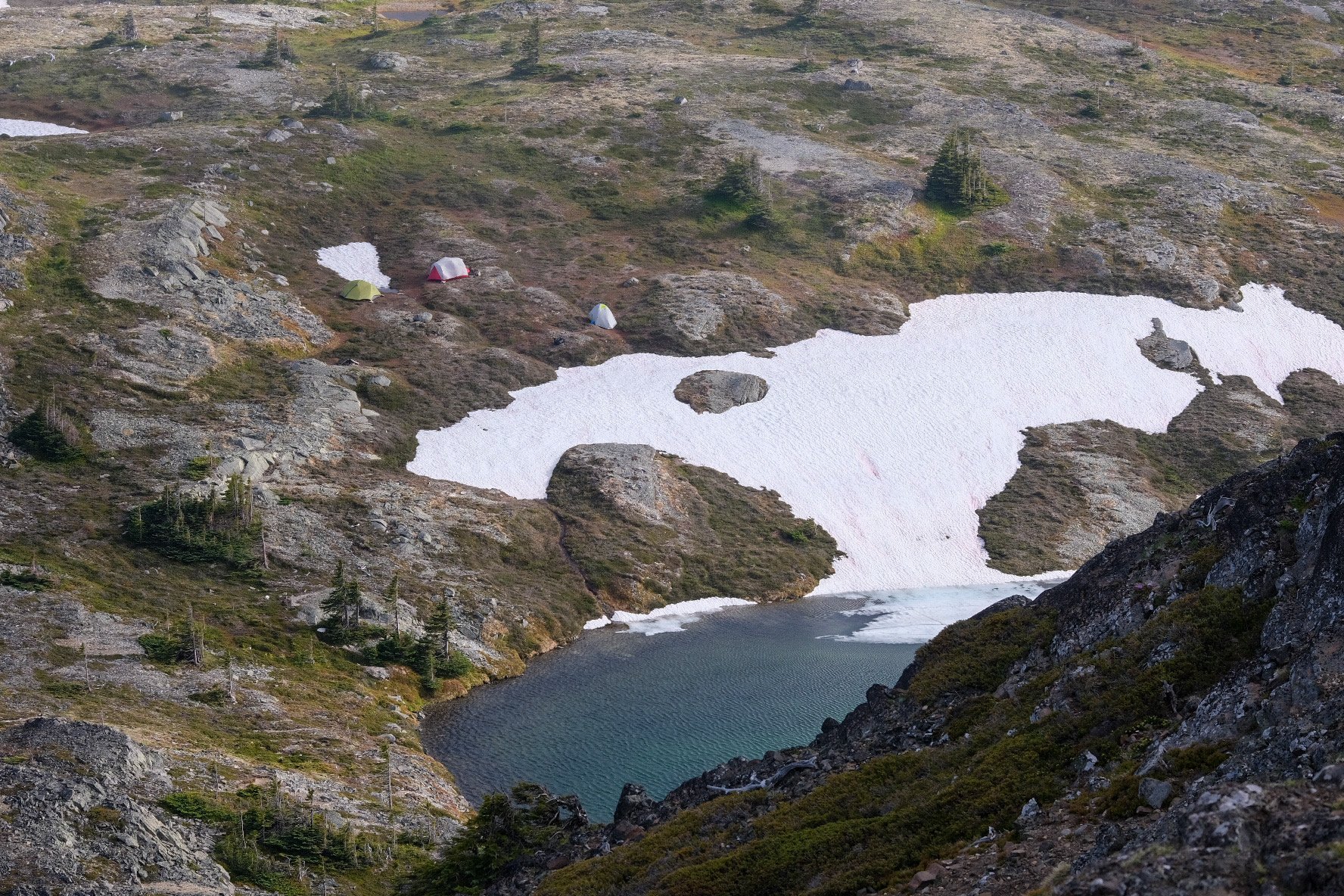
Once you reach the alpine you come to a junction that splits north or south of Jim Kelly, the south route taking you to Coquihalla camp and north to Illal meadows. We headed up through the meadows to the base of Illal. There were multiple opportunities to pitch a tent along the way, we opted to stay close to Illal to enjoy the lake and have easy access to pop up to the ridge for sunrise (as misguided as that may have been). As we pushed our way further up the ridge the wind picked up, which was a blessing for the mosquitoes but made for some chilly times at camp as the clouds rolled in and out obstructing the sun. The total distance to our camp from the FSR was 8.6 kms with 897 m gain.
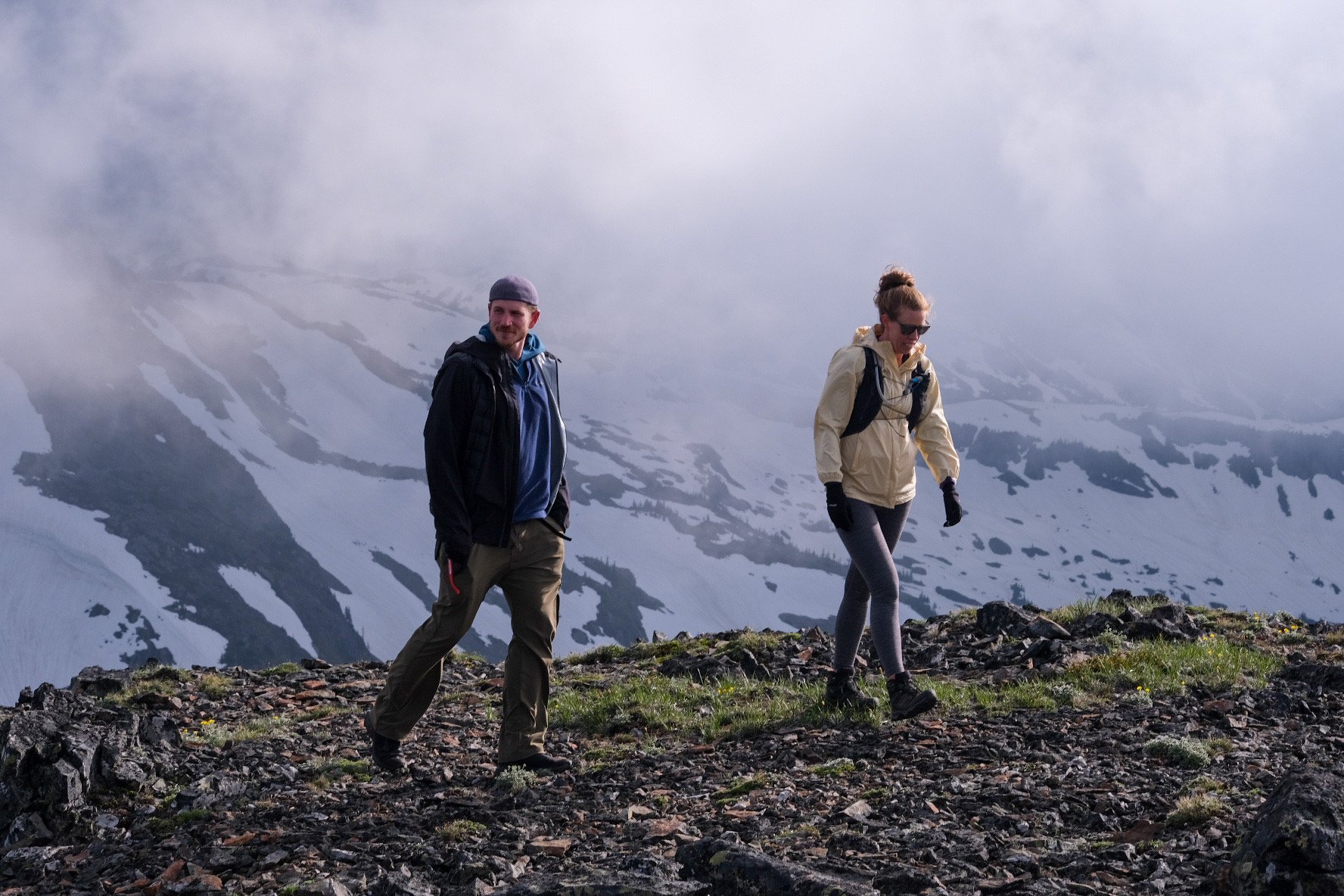
Once we set up camp and had a well deserve lunch break we decided to check out Illal Mountain, the clouds had lowered quite a bit since we hit the trail that morning but it was a quick jaunt to the top at only 0.54 kms and 19m up, so we decided to give it a go anyway. At the summit the wind was relentless and the clouds were thick but the smiles were big. That morning I met up with Ray and 3 new friends and here we were, 5 hours later, at the top of a mountain! After taking a couple photos in the mist with next to no views, we headed back to camp and hung out for the rest of the night.
I had an opportunity to test out my new Nemo Dagger OSMO 3P tent this trip and it was an absolute game changer. Normally when I backpack I’m used to splitting the load with Matt but with him hanging back this trip I had a much bigger load. This tent is so light-weight, yet durable and strong enough to withstand the elements. I loved it!
Day 2:
After a stormy night filled with wind and rain we woke up to calm winds and clear skies and all was right! We had our sights set on Jim Kelly and Coquihalla Mountain for today. As we sat out and enjoyed our breakfast and planned our route for the morning, another friend made her way to us after camping out at the end of the FSR the night before. Once she got settled we grabbed our day packs and headed for Jim Kelly, even in the patchy snow the route was easy to follow.
From where we camped it was only 1.6 kms and 177 meters to the summit of Jim Kelly. The final ~100m to the summit are a bit of a scramble but nothing more than a class 3. With my limited comfort with exposure, I found the route easy to follow and quite comfortable. From the summit of Jim Kelly we had amazing 360 views of the surrounding valleys and lakes below. As we took in the views we scoped out a potential line up Coquihalla Mountain. With the amount of remaining snow and cornices along the route we had hoped to take we decided to give it a pass. In a couple of weeks the snow should be gone and this one should be good-to-go.
Note: the route we had in our guide book and seen the most beta on is the most direct ascent of the Northern aspect. We later found out that there is a longer hikers route up the Southern aspect that is more suitable in the shoulder season.
After deciding to pass on Coquihalla we made our way back to base camp and a few of us decided to head back up Illal for some better views and checked out another unnamed peak just behind Illal. We never did get a sunrise or sunset up Illal as the clouds continued to roll in a out but it was still nice to camp so high at the base of all these peaks. That afternoon with clear views we were able to see out to the highway and got some spectacular views. We had Flat Iron, Needle and Markhor in foreground with Yak, Nak and Thar behind that and Llama, Vicuna, Ibex and so many more in behind that. Around 5 PM the clouds rolled back in and the winds picked up and we retreated back to camp for an early night in the tents.
Day 3:
The following day the weather was less cooperative and the clouds remained thick though the morning. We decided to break camp and head for the cars. The fog hung low through most of the trek back to the car, only giving us a little reprieve in the last few kms. The route back to the car was mainly downhill with only 117 m gain over the 8.6 kms.
As we came into the meadow on Thursday there was one car parked on the FSR and only one tent in the lower meadows, heading out Sunday was another story, there was a group at the base of Jim Kelly and at least two other groups in the meadow between Jim Kelly and the forest. There were 3 cars at the washout on the spur road and approximately 8 at the parking on Tulameen FSR. Overall it still felt very spacious in the meadow but I could imagine it getting a little crowded on warmer weekends once the snow finally melts and the lakes warm up.
Routes:
Navigating to the trail head:
Hiking to Illal Meadows:
Illal Meadows:
Optional Add-ons:
Disclaimer: This blog post may feature some affiliate links, which means I get a small commission if you make a purchase (at no extra cost to you). It’s one of the ways I can keep producing free guides and resources for my readers. Thank you for the support!


